 |
 |
 |
 |
 |
 |
 |
 |
|
|
|
|
|
|
|
|

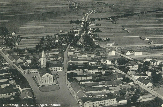
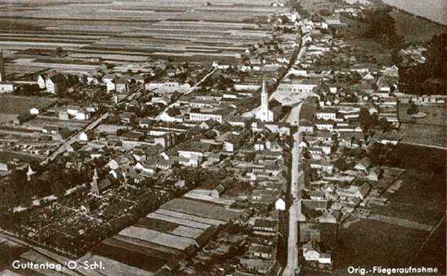
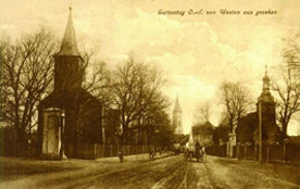
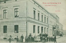
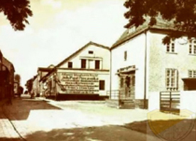
Guttentag (today Dobrodzien) was a small town, located about 35 km (22 miles) east of Oppeln (today Opole). In the 18th century the city saw a periode of prosperity based on iron works and blast furnaces. A well known saying was: "Pride in Rosenberg, mud in Lublinitz and gold in Guttentag." But in the second half of the 19th century the steel industrie relocated to more eastern parts of Upper-Silesia, e.g. Kattowitz. Furthermore the revolution of 1848 freed the farmer who could then by own farms. They also left the region. Between 1919 and 1927 Friedrich August III, the king of Saxony, sold his manors in Guttentag to the German state and private inhabitants. More inhabitants left Guttentag.
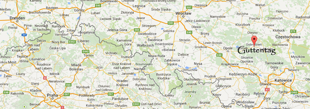
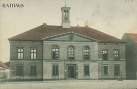
In 1925 Upper-Silesia and also the administrative district “Landkreis Lublinitz” was divided. The biggest part with the district capital Lublinitz then belonged to Polen. The western rest of “Landkreis Lublinitz” became the new “Landkreis Guttentag” with the distric capital Guttentag. Guttentag became the last city before the Polish boarder which was only 7 km east of the city.
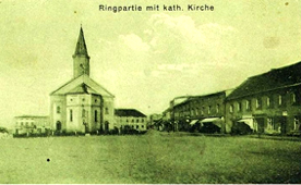
In 1933 when the Nazis came into power the city had 4.400 inhabitants, together with the surrounding villages the number of inhabitants was around 10.000.
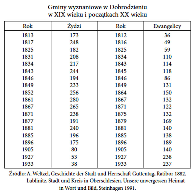
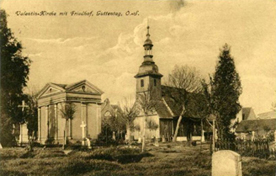
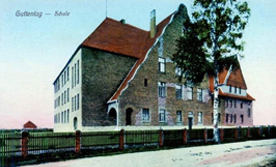
The Jewish population had increased steadily untill the second half of the 19th century. In 1860, the Jewish population reached a maximum of 300 people, accounting for about 11 % of the overall population. After a huge fire in 1851 a new big synagogue was built. In 1860 a Jewish school was erected. There was also a Jewish hospital, a Jewish orphanage and a Jewish cemetery.
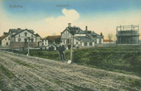
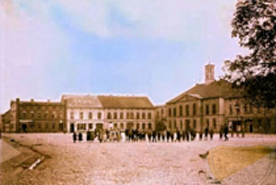
Subsequently, because of the economic decline the Jewish population decreased rapidly. When the Nazis came to power in 1933, there were merely 38 Jews left. By 1938, the number of Jewish inhabitants had decreased to merely 14.
Read here more about the Jewish history in Guttentag.

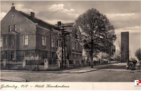
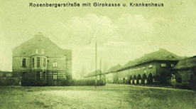
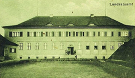
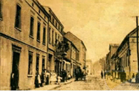
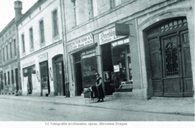
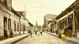
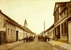
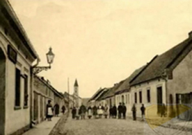
Alle Bilder: Aus der Sammlung der Regionalgesellschaft der Gemeinden Guttentag und Zembowitz, zumeist veröffentlicht in Mrozek, Pawel: Dobrodzien - NA PCTOWCE I FOTOGRAF II 1884-1944